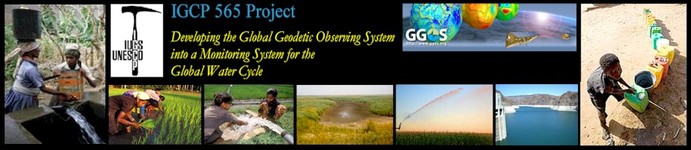
IGCP 565: Supporting water resource management with improved Earth observations ...
|
Read more about IGCP ... IGCP 565: Supporting water resource management with improved Earth observations ... |
| Home | About IGCP 565 | News | Projects | Library | Meetings | Discussions | Workshops |
Workshop 4 (November 21-22, 2011):
Documentation and Output:
AfricaArray:
|
|
|
IGCP 565 Workshop 4: Integration of geodetic observations and products in models of the hydrological cycle
|
|
Hans-Peter Plag
Nevada Bureau of Mines and Geology, University of Nevada, Reno, USA
More than one billion people are today without access to sufficient clean and healthy drinking water, and this number is likely to increase dramatically over the next decades. As pointed out by the 2006 Water Report of the United Nations, this is not so much a problem of abundance but rather of insufficient governance. Responsible regional water management will be essential for satisfying the demand for drinking water. Currently, regional water management is hampered by a lack of sufficient observations of the surface and subsurface terrestrial water storage. A much improved observation system providing information on all reservoirs of the water cycle on regional to local scales is needed, if we want to avoid severe human and ecological disasters caused by inappropriate water management.
Geodetic observations of the Earth's gravity field, shape, and rotation and their changes in time (the three fundamental areas of geodesy) capture the signals of variation in the entire fluid envelope of the solid Earth, including the terrestrial water storage. Therefore, the geodetic techniques have the capability to monitor mass transport particularly in the global water cycle.
Hydrogeodesy is an emerging science field that utilizes the global geodetic observing infrastructure for the monitoring of mass transport in the water cycle. Geodetic observations of the temporal changes in Earth's gravity field, shape, and rotation capture the signals of redistribution of water mass on the globe. The dramatically increased accuracy of the geodetic techniques over the last four decades carries a great potential for measuring water mass as it cycles from one reservoir to another. A number of recent workshops and conferences have underlined the added value in applying geodesy to support hydrologic cycle monitoring and modeling, especially of terrestrial water storage. However, before the full benefits of the emerging field of hydrogeodesy become exploitable, there is a need to reduce model uncertainty through validation with point to basin observations, increased consistency in processing and modeling displacement, gravity variations, and hydrologic processes, and develop and apply new technologies that merge scale mismatches. Improving accuracy and stability of the geodetic reference frames will extend the applicability of geodesy to hydrologic problems. In tectonically active areas, joint interpretation of tectonic and hydrologic signals is required. Ground truth networks are needed at a higher density and with quality control protocols that ensure accuracy.
A limitation for the hydrologic application of satellite gravity measurements, such as the Gravity Recovery and Climate Experiment (GRACE) is the low spatial resolution. GRACE can indirectly yield terrestrial water storage change at sub-monthly time scales and at 100,000 square kilometer space scales. In many geographical areas, Global Navigation Satellite Systems (GNSS) observations of surface displacements have a much higher spatial resolution. Combined assimilation of GRACE with GPS and in situ gravity observations in hydrological models has been proposed as a way to overcome this limitation, but land water storage changes derived from GRACE and GPS agree well only in limited areas. Reasons for the disagreement include inconsistencies in data processing and spatial filtering, and, most importantly, biases of the land water storage through tectonic and other processes not accounted for. A modeling framework for the joint estimation of tectonic and hydrologic signals is emerging.